Maps & GIS
Spatial data and geographic information for research
Spatial Data Capabilities
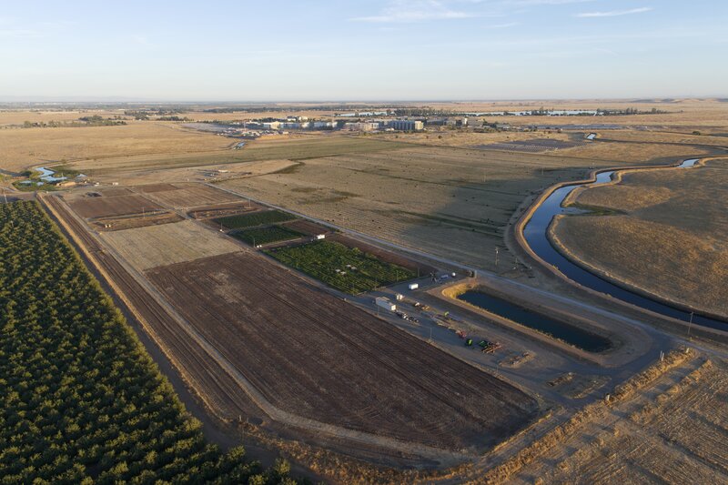
ESF maintains comprehensive geographic information system (GIS) data covering all aspects of our research facility. Our spatial data supports precision agriculture research, infrastructure management, and long-term planning.
Researchers can access georeferenced datasets for integration with their own analysis workflows, including drone imagery, sensor locations, and plot boundaries.
What We Map
Comprehensive GIS layers covering farm infrastructure and research assets
Field Boundaries
Research plot delineations and field boundaries
Sensor Stations
Soil moisture, weather, and environmental sensors
Infrastructure
Roads, buildings, water lines, and utilities
Research Projects
Current research project areas and equipment
Download Field Data
Download current field boundaries and crop coverage data as GeoJSON for use in your GIS software.
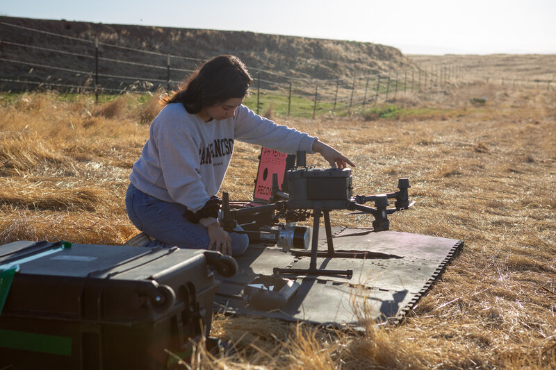
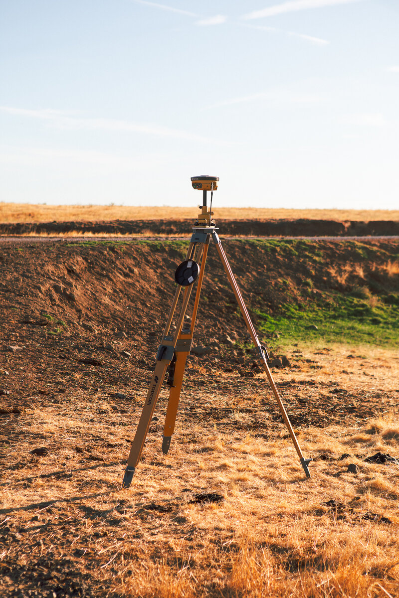
RTK & NTRIP Base Stations
ESF operates a network of NTRIP and static RTK base stations providing centimeter-level positioning accuracy across the farm. These stations support a range of precision applications including autonomous robotics, land surveying, and precision agriculture equipment.
Researchers and partners can connect to our base stations for real-time RTK corrections, enabling high-precision field operations and data collection without deploying their own reference infrastructure.
- NTRIP caster for real-time RTK corrections
- Static base stations for surveying and post-processing
- Centimeter-level accuracy for robotics and autonomous navigation
- Available to researchers and partners by request
Data Standards
ESF spatial data follows standard GIS conventions for interoperability:
- Coordinate Reference System: EPSG:32610 (UTM Zone 10N)
- Formats: GeoJSON, Shapefile, Cloud Optimized GeoTIFF (COG)
- Tile server: TiTiler for dynamic raster tiles
- Data catalog: STAC (SpatioTemporal Asset Catalog)
- Database: SQL-based storage for vector and attribute data