Data Access
Datasets, formats, and access request process
ESF Data Production
The Experimental Smart Farm generates continuous streams of agricultural and environmental data. Our sensor networks, weather stations, and drone imaging programs produce terabytes of research-grade data annually.
We make this data available to researchers through formal access agreements, supporting a wide range of agricultural science, machine learning, and environmental studies.
Sensing Infrastructure
Our network of sensors and instruments continuously monitors conditions across the farm
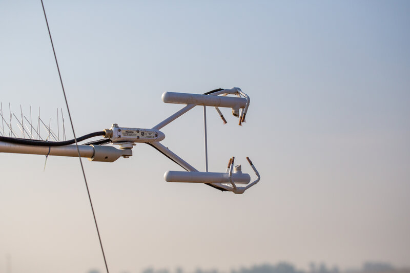
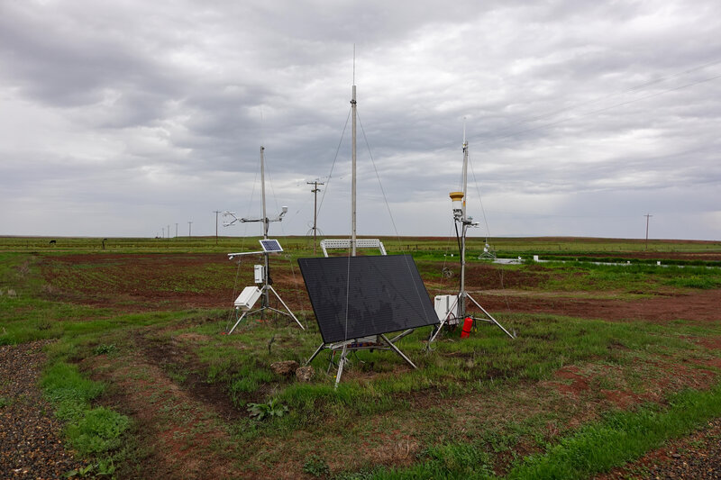
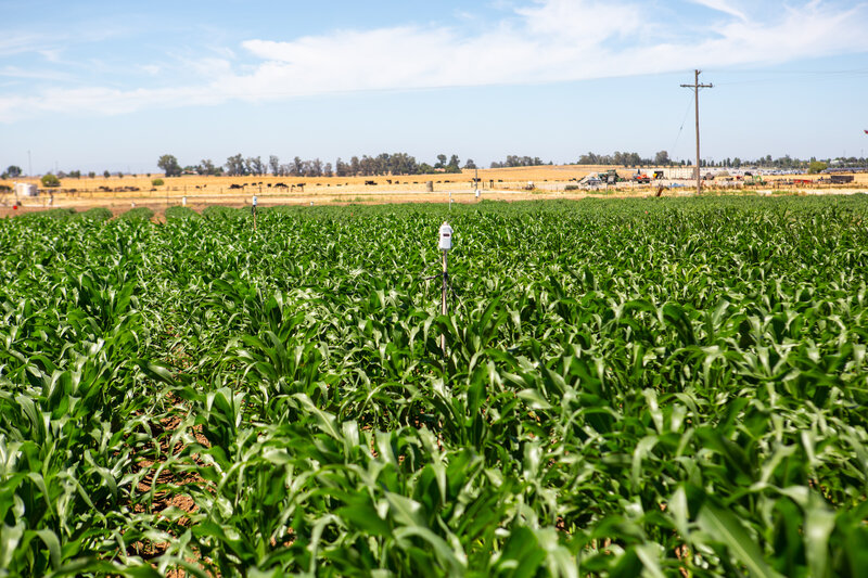
Fixed Eddy Covariance Tower
Our permanent flux tower measures the exchange of carbon dioxide, water vapor, and energy between the crop canopy and atmosphere. Using high-frequency 3D wind measurements and gas analyzers, it captures how much carbon the crops absorb and how much water they release through evapotranspiration.
Data produced: CO2 flux, latent heat flux, sensible heat flux, net ecosystem exchange
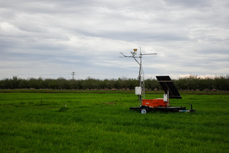
Mobile Eddy Covariance Tower
A portable flux station that can be deployed to different fields for targeted studies. This allows researchers to compare carbon and water dynamics across different crop types, irrigation treatments, or soil conditions without permanent infrastructure in each location.
Data produced: Field-specific flux measurements, microclimate data
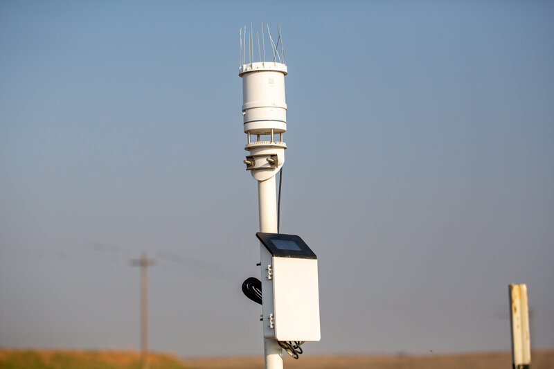
Weather Stations
On-site meteorological stations record the environmental conditions that drive crop growth and water demand. These stations measure air temperature, humidity, wind speed and direction, solar radiation, and precipitation at frequent intervals.
Data produced: Temperature, humidity, wind, solar radiation, precipitation, reference ET
Soil Moisture Sensors
Networks of soil moisture probes installed at multiple depths track water availability in the root zone. This data helps researchers understand irrigation timing and efficiency, and supports precision irrigation scheduling to optimize water use.
Data produced: Volumetric water content at multiple depths
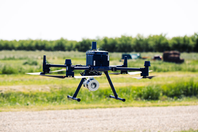
Drone Imaging Platform
Regular drone flights capture high-resolution RGB, multispectral, and thermal imagery. Multispectral cameras measure light reflectance in specific bands to calculate vegetation indices like NDVI and NDRE, which indicate crop health and vigor.
Data produced: Orthomosaics, NDVI, NDRE, thermal maps, canopy cover
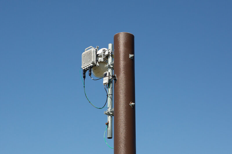
10 Gbps Network Link
A high-capacity microwave link connects the farm to the UC Merced campus network, enabling real-time data transmission from all sensors and supporting bandwidth-intensive applications like live video feeds and rapid imagery uploads.
Enables: Real-time sensor data, remote monitoring, large file transfers
Farmkit
Farmkit is an open farm management platform developed at UC Merced's Experimental Smart Farm. Browse high-resolution drone and satellite imagery, manage fields and equipment, and track crop data — all in one place.
A mobile app is also available for iOS and Android, giving you access to Farmkit in the field.
Coming soon: field activity logs and real-time IoT sensor data, giving researchers a single place to monitor everything happening on the farm.
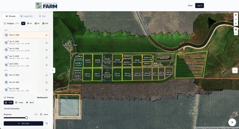
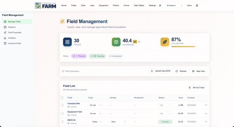
Interactive map with drone imagery and field boundaries
Available Datasets
Comprehensive data covering all aspects of farm operations and research
Soil Moisture
Continuous soil moisture readings at multiple depths from sensor networks
Weather Data
Real-time and historical meteorological data from on-site weather stations
Multispectral Imagery
Drone-captured imagery including NDVI, NDRE, and thermal bands
Water Quality
Irrigation water quality parameters and flow measurements
Crop Health Indices
Derived vegetation indices and crop health assessments
Request Data Access
Interested in using ESF data for your research? Contact Emery Silberman and we'll work with you to provide the datasets you need.
Technical Overview
ESF data is provided in standard formats for easy integration with common analysis tools:
Geospatial Data
GeoJSON, Cloud Optimized GeoTIFF (COG), served via TiTiler
Imagery
TIFF, JPEG, PNG with EXIF/sidecar metadata
Catalog
STAC (SpatioTemporal Asset Catalog) compliant
Database
SQL-based storage for vector and attribute data